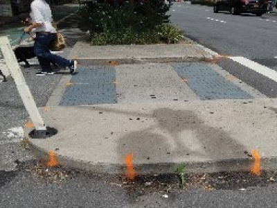
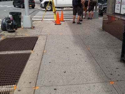
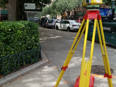
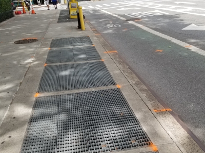
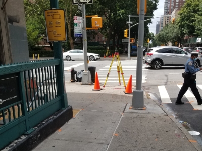
MFS (formerly GEOD) was contracted to provide topographic surveying and mapping to support design of complex pedestrian ramps at 33 sites throughout the boroughs of Brooklyn and Manhattan to comply with applicable Federal ADA requirements.
MFS (formerly GEOD) used a combination of conventional surveying and 3D laser scanning to collect the data required to create the base mapping. MFS’s field crews established horizontal and vertical control by GPS in the appropriate New York State Plane Coordinate system zone, NAD83/NAVD88 with a local borough vertical datum conversion shown on the plans. The limits of survey for the quadrant were from adjacent building line or back of sidewalk to the centerline of the roadway, and 100 feet from the corner of the building lines or back of sidewalk along each side of corner curb. Storm drains and sanitary sewer rim elevations and inverts were collected, and property and ROW of lines were shown within the project limits. The mapping was prepared in accordance with NYCDDC General Requirements Section 4.2 at 1” = 10’ and delivered in digital format compatible with AutoCAD Civil 3D software to meet or exceed the National Map Accuracy Standards (NMAS). Tie sketches for control points prepared in AutoCAD format.