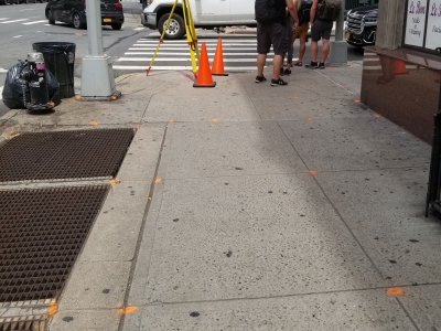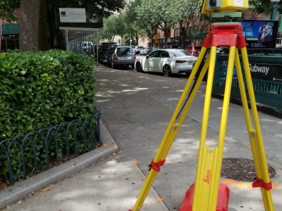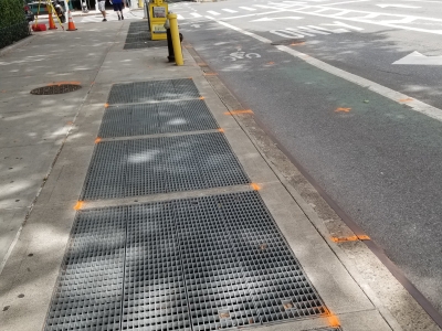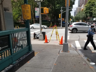


MFS (formerly GEOD) utilized a combination of conventional survey and 3D laser scanning to provide topographic base mapping to support the engineering for wall rehabilitation and drainage improvements at the Summit Station in Summit, NJ.
Services include establishing primary and secondary control, perform laser scanning within the train track bed to capture all features from the track and wall including conduit running along southerly wall. Top of wall locations at street level were obtained by a combination of laser scanning and conventional survey. Mapping was provided in MicroStation V8 using NJ Transit CADD standards and conformed to NJDOT guidelines and Article 51.


