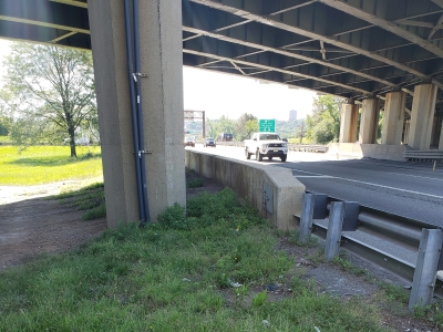
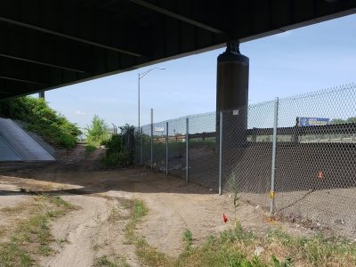
MFS (formerly GEOD) was responsible for the mapping and land surveying services to support the preliminary engineering and final design for the replacement of structures E112.95A & E112.95B in East Rutherford, Bergen County.
MFS (formerly GEOD) established a survey control network with baseline utilizing a combination of GNSS RTK and conventional surveying at the Int. 17 toll plaza and at Route 3.
Pre-flight targeting was performed to facilitate low altitude photogrammetric mapping which was stereo compiled from 2.0cm GSD new digital aerial imagery. The base mapping was then field edited for obscured areas, to identify and label all utilities, and acquire rim/grate elevations on sanitary and drainage structures.
Existing sub-surface utility mark outs were surveyed. All the field data was then added to the basemapping which was prepared at 1” =30’ in NJTA spec MicroStation V8i with a SelectCAD DTM from which 1ft contours were generated. A GNSS Control Report and a Secondary Survey Control Report were prepared.
All of the data was processed to NAD 83(2011) NJ2900 State Plane Coordinate System horizontally and to the North American Vertical Datum of 1988 (NAVD 88) with digital tie sketches and a traverse baseline drawing of the survey control in CAD.
All services were provided from MFS’s location at 24 Kanouse Road, Newfoundland, NJ.