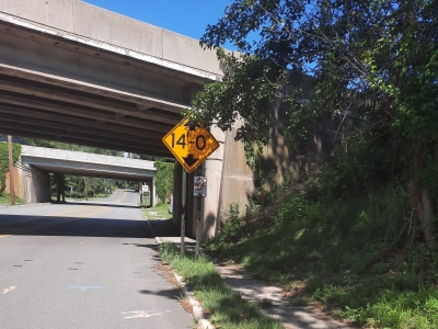
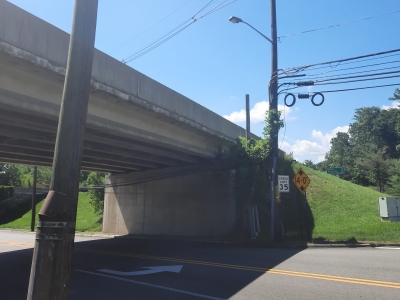
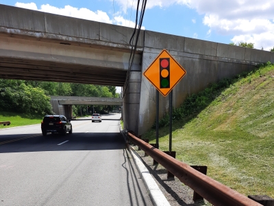
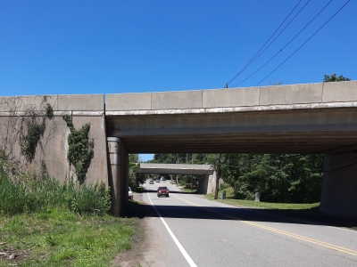
MFS (formerly GEOD) provided aerial mapping and survey services to support preliminary and final design of deck and superstructure replacement and miscellaneous improvements on eight high priority bridges located between milepost 169.2 and 171.7.
MFS (formerly GEOD) obtained new color digital aerial photography and established photogrammetric and project horizontal and vertical control. Mapping was compiled directly at 1” =30’. All visible features consistent with NJTA standards and specifications for 1” =30’ scale mapping was shown. Break lines and spot elevations were digitized and combined with the ground level plan to create a DTM in SelectCAD from which 1’ contours were generated.
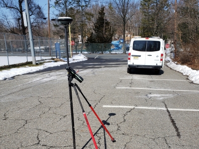
Field crews performed conventional surveying to supplement the aerial mapping at each of the 8 bridge structures. Utilizing the survey control established at the structures, field crews performed HD laser scanning from multiple set ups within the project areas. In addition, MFS established the ROW utilizing record documents and field measured evidence. Upon analysis of the documents and evidence, the ROW was re-established. A roadway alignment was created based on the established ROW.
All mapping was prepared in NJTA spec MicroStation V8i with a SelectCAD DTM.